People say the Oku-Yamato region is close by. It is. From yoinn, Asuka is 25 minutes by car, Yoshinoyama 30, the Kumano Kodo 45, Tenkawa and Koyasan 50 each. Of these, none takes a full hour. (Those are our own driving times, not the fastest a map will give you.)
But that also means there is an hour's worth of country in every direction, and each one is a different country.
Leave at 10:00, return around 17:00, and you have seven hours. The road takes its share, lunch takes an hour, and what remains is the day.
How many places fit depends on which way you face. Asuka has the shortest driving, so seven stops fit; Koyasan and Tenkawa, with longer roads, take five.
So the question is not which place to see. It is which direction to face.
Here are three that work as a single day.
A|Mountain and prayer — Koyasan (50 minutes)
Daimon gate → Danjo Garan → lunch → Okunoin → Kongobuji
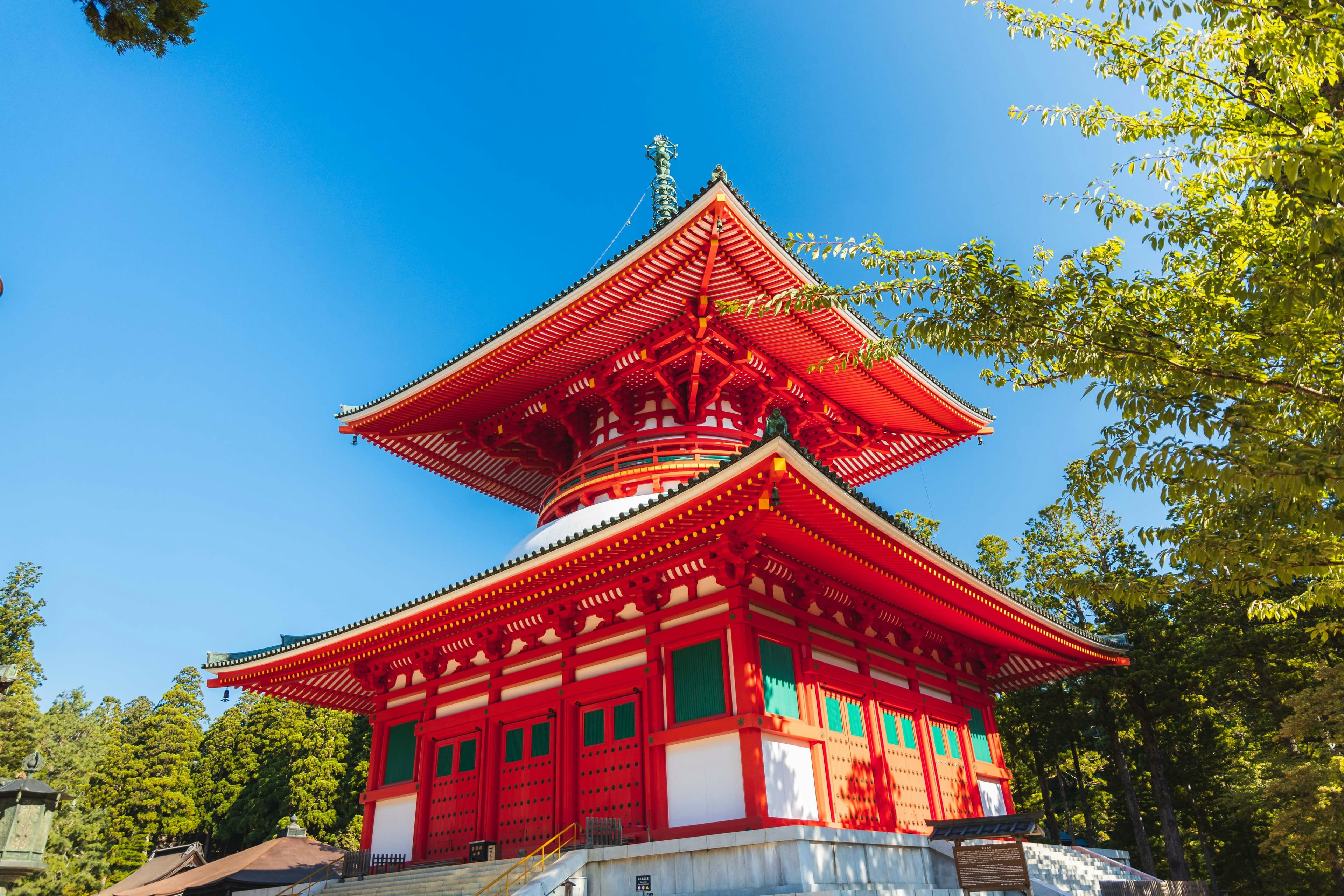
Through the great gate, across the temple complex, lunch, and then into Okunoin. The full approach runs two kilometres from the first bridge, with more than 200,000 memorial stupas and graves standing under the cedars along it. We start at the middle bridge and walk the last kilometre — about twenty minutes, stone paving the whole way.
Koyasan says meals have been carried to the mausoleum twice a day since 835, and never once missed. They were carried this morning.
Koyasan is one component of Sacred Sites and Pilgrimage Routes in the Kii Mountain Range, inscribed in 2004. Yoshinoyama and the Kumano Kodo belong to that same single inscription.
- Effort: real (2 km round trip, stone paving)
- Autumn colour: late October into the first days of November (Koya town)
- November average 7.5°C, low 3.0°C
For which sites are peaking in which week — Koyasan, Muroji, Tanzan, and the relay of colour along the route — see The other Nara: an autumn.
B|Water and gorge — Tenkawa (50 minutes)
Tenkawa Daibenzaiten Shrine → Mitarai Gorge → lunch in Dorogawa → Menfudo Cave → Dorogawa streets
The most walking of the three, and the most driving.
A stop at the shrine, then into Mitarai Gorge. The trail runs about 8 km with 200 m of elevation change. You do not walk it all. You go up to the falls and come back down. Even so, this is not a sandals day.
Lunch in Dorogawa, an onsen town at about 820 m, wooden inns lining a single street. A small monorail called the Dorokko climbs to Menfudo Cave; you can also walk up. Inside: 280 m of passage, averaging 8°C. A jacket is needed even in August.
The gorge, the town and the cave are not part of any World Heritage inscription — though the mountains above them, along the Omine ridge, are. Tenkawa village describes its autumn colour as the finest in the Kansai region; the peak falls in early November.
- Effort: real (the most walking of the three)
C|Antiquity — Asuka and Fujiwara (25 minutes)
Kitora Tomb Mural Experience Hall → Amakashi Hill → Asukadera → lunch → Ishibutai Tomb → Sakafuneishi → Fujiwara Palace site
Seven stops fit because the driving is short. The time saved on the road goes back into the stops rather than cutting them.
On 26 July 2026, the ancient capitals of Asuka and Fujiwara were inscribed as World Heritage — Japan’s 22nd cultural inscription, with 19 component parts. What was inscribed are archaeological sites, not standing buildings. Not everything on this route is on the list, either: Amakashi Hill is not, and what was inscribed at Asukadera is the ground, not the hall that stands on it.
At the Fujiwara Palace site, no building stands — only a line of red pillars marking where a gate once was, and a field where the rest of it isn’t.
The Kitora murals — the blue dragon and the other three guardians of the directions — were lifted out of the burial chamber between 2004 and 2010, and are shown in the original only a few times a year, by application. The rest of the time the hall holds the chamber at full size and the paintings in high definition. Either way, they had been underground for thirteen centuries.
At Asukadera, the Great Buddha was cast in the seventh century, badly damaged by fire in 1196 and repaired many times since. How much of the original bronze is still there is argued about to this day. It has not been moved.
The least walking of the three. The longest stretch on foot is ten minutes, on Amakashi Hill.
- Cosmos at the Fujiwara Palace site: early to late October, around 2.4 million flowers
Back by 17:00
Whichever direction you take, the last of the road is the same. Into Shinmachi-dori, and the car is parked.
yoinn is a 100-year-old machiya on that street, 124 m², one group at a time. Once the season turns, the wood stove is lit. The bathhouse is five to ten minutes on foot.
We ask first, then we drive
For stays of three nights or more, we build the day rather than hand over a map.
After booking, a short form asks what draws you — not which sites you want to tick off, but what you are actually interested in. Mountains and ritual. Water and cold air. Things that are 1,400 years old. The route is built from that answer, in one of the three directions above or across them.
We drive; the car seats four. Out at 10:00, back around 17:00. The drive is arranged separately from the stay, lunch and admission are yours, and the day runs in rain as well.
The next day, there is another direction.
yoinn|Gojo, Nara. One group per day, up to eight guests. Check-in from 16:00; check-out 11:00 when you book with us direct.